Log in
All resources
Create a design
4,035 Free Images of World Map
bibliothèque nationale de france
maps
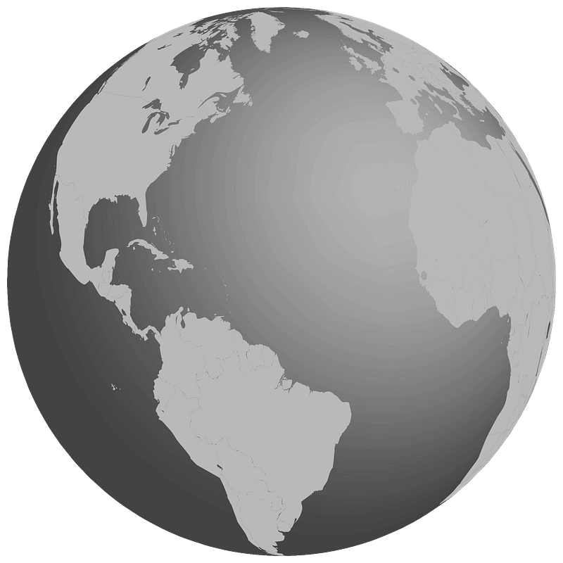
earth
globe
sphere
world globe
propaganda map
🌇 travel & places emoji
🌍 maps emoji
1529 maps of iran
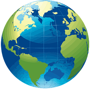
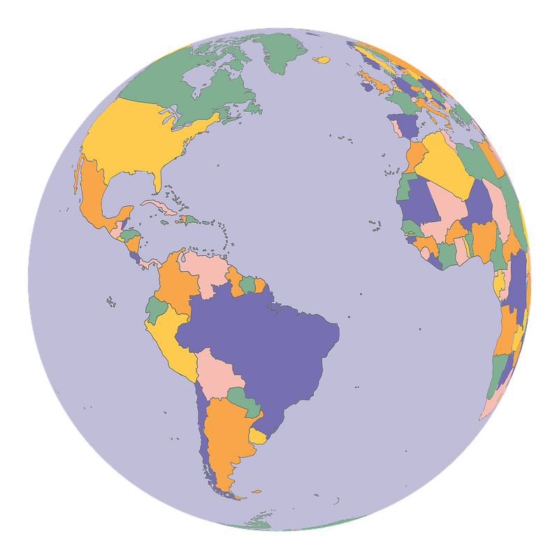
world
map
planet
maps
ecosystems
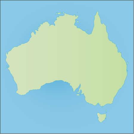
australia
beschreibung der städt der welt - braun & hogenberg - btv1b52512111k
maps of lisbon by braun & hogenberg (1572)
planet
maps
synopsis universae philologiae
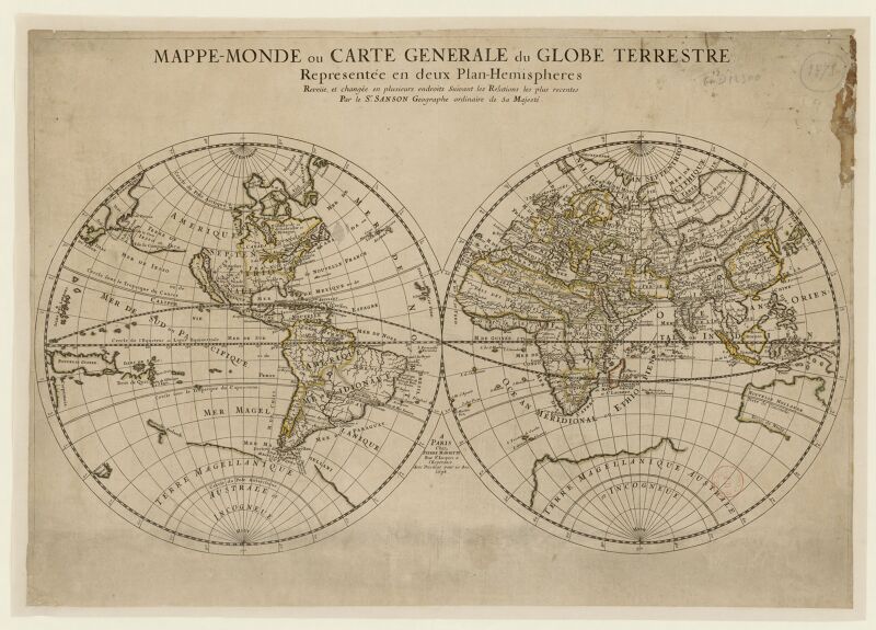
1710s maps of the world
beschreibung der städt der welt - braun & hogenberg - btv1b52512111k
maps of konstanz by braun & hogenberg
beschreibung der städt der welt - braun & hogenberg - btv1b52512111k
maps of burgos by braun & hogenberg
beschreibung der städt der welt - braun & hogenberg - btv1b52512111k
maps of cusco by braun & hogenberg
bibliothèque nationale de france
propaganda map
earth
maps
australia
maps
africa
maps
satellite pictures of the eastern hemisphere
fra mauro map derivative works
maps by macdonald gill
royal mail
bibliothèque nationale de france
propaganda map
maps by edward wright
molyneux globes
tresor des cartes geographiques (1659)
17th-century maps of silesia
carta hydrographica y chorographica de las yslas filipinas
baroque painting
atlas ou representation du monde universel t. 1 (1633)
17th-century double hemisphere world maps
endrei zalán: a világ történelme
1900s maps of india
orbispictus - extracted images
1650s maps of the world
bodleian maps collection
1610s maps of the world
homeros caetani (louvre ma440)
synopsis universae philologiae
1741 maps of europe
typus orbis terrarum
1570 maps
typus orbis terrarum
1572 maps
johannes honterus
renaissance
old maps of trinidad and tobago
17th-century maps of venezuela
cartes generales de toutes les parties du monde (1658)
1650s maps of saxony
africa
maps
australia
maps
africa
maps
19th-century maps of tibet
details of old maps
16th-century maps of the persian gulf
maps of the gulf of suez
maps showing 19th-century history
arctic expeditions
atlas sive cosmographicae (gerardus mercator, 1596)
gerardus mercator
tresor des cartes geographiques (1659)
1650s maps of eastern europe
tresor des cartes geographiques (1659)
17th-century maps of siberia
tresor des cartes geographiques (1659)
old maps of tunis
tresor des cartes geographiques (1659)
maps facing east
james reynolds (publisher)
john emslie
tresor des cartes geographiques (1659)
1650s maps of the tsardom of russia
maps in the library of congress
1690s maps of the world
old maps of the british empire
illustrations by walter crane
1941 watercolor paintings
works by eric ravilious
old maps of the eastern hemisphere
1710s maps of the world
africa
maps
maps of the ottoman empire by mercator-hondius
eran laor cartographic collection
town of bamberg (world heritage site)
maps of bamberg by braun & hogenberg
mappe-monde geo-hydrographique (sanson and jaillot, 1674)
bibliothèque nationale de france
1529 maps of iran
1529 maps
maps by jodocus hondius
maps by petrus bertius
old maps of the british empire
illustrations by walter crane
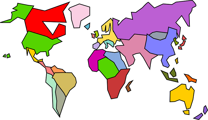
world
map
maps of the ottoman empire by mercator-hondius
eran laor cartographic collection
maps of tintin
borduria
maps of the ottoman empire by mercator-hondius
eran laor cartographic collection
bibliothèque nationale de france
guillaume sanson
bibliothèque nationale de france
guillaume sanson
world
map
maps by joachim bormeester
1680s maps of the world
maps of the ottoman empire by mercator-hondius
eran laor cartographic collection
german renaissance
stabius world map
pieter verbiest (ii)
maps from gallica
curt teich postcard archives, curt teich & company
map postcards
1640s maps of the world
maps from gallica
atlas sive cosmographicae (gerardus mercator, 1630)
maps of england by gerardus mercator
1942 watercolor paintings
works by eric ravilious
abraham cresques
catalan atlas
atlas sive cosmographicae (gerardus mercator, 1630)
maps of corsica by gerardus mercator
planet
maps
maps of colonial brazil
1510s maps of brazil
national
maps
18th-century double hemisphere world maps
1730s maps of the world
satellite pictures of the eastern hemisphere
fra mauro map derivative works
18th-century double hemisphere world maps
1730s maps of the world
maps by willem and johannes blaeu
maps of szolnok
beschreibung der städt der welt - braun & hogenberg - btv1b52512111k
maps of orléans by joris hoefnagel
atlas géographique des quatre parties du monde (delisle)
18th-century maps of the iberian peninsula
maps of the palatinate of the rhine
maps by willem and johannes blaeu
1710s maps of eastern europe
1710s maps of the balkans
atlas ou representation du monde universel t. 2 (1633)
maps by jan janssonius
gaspard de chabrol
maps from gallica
16th-century maps of the persian gulf
16th-century maps of the red sea
propaganda map
1610s maps of the netherlands
old maps of friesland
cartography
maps
1529 maps of iran
1529 maps
1529 maps of iran
1529 maps
1529 maps of africa
1529 maps of iran
description de l'universe
1680s maps of the world
1529 maps of iran
1529 maps
1529 maps of iran
1529 maps
self-published work
card
mappe-monde geo-hydrographique (sanson and jaillot, 1674)
planet
earth
17th-century double hemisphere world maps
mercator 1587 world map
16th-century maps of the middle east
propaganda map
1529 maps of iran
1529 maps
2301 - 2400 of 4,035
Next page
/ 41


![Treasure of geographical maps of the main states of the universe [...], 1659](https://cdn.creazilla.com/illustrations/10000859170/treasure-of-geographical-maps-of-the-main-states-of-the-universe-1659-md.jpg)

![Gerardi Mercatoris and I. Hondii Atlas or Representation of the Universal World, and of the Parts of It, Made in Tables and Descriptions Very Ample, and Exact: Divided into Two Volumes [...]. [t. 1].](https://cdn.creazilla.com/illustrations/10000622971/gerardi-mercatoris-and-i-hondii-atlas-or-representation-of-the-universal-world-and-of-the-parts-of-it-made-in-tables-and-descriptions-very-ample-and-exact-divided-into-two-volumes-t-1-sm.jpg)


![[Edward Wright, Chart of the World ], Edward Wright, 1610](https://cdn.creazilla.com/illustrations/10000975501/edward-wright-chart-of-the-world-edward-wright-1610-md.jpg)


![Treasure of geographical maps of the main states of the universe [...], 1659](https://cdn.creazilla.com/illustrations/10000594631/treasure-of-geographical-maps-of-the-main-states-of-the-universe-1659-md.jpg)
![Treasure of geographical maps of the main states of the universe [...], 1659](https://cdn.creazilla.com/illustrations/10001176343/treasure-of-geographical-maps-of-the-main-states-of-the-universe-1659-md.jpg)
![Treasure of geographical maps of the main states of the universe [...], 1659](https://cdn.creazilla.com/illustrations/10000832962/treasure-of-geographical-maps-of-the-main-states-of-the-universe-1659-md.jpg)
![Treasure of geographical maps of the main states of the universe [...], 1659](https://cdn.creazilla.com/illustrations/10000441201/treasure-of-geographical-maps-of-the-main-states-of-the-universe-1659-md.jpg)

![Treasure of geographical maps of the main states of the universe [...], 1659](https://cdn.creazilla.com/illustrations/10000302483/treasure-of-geographical-maps-of-the-main-states-of-the-universe-1659-sm.webp)


![[Nautical Atlas of the World, called Miller Atlas]; 2-5. [Miller Atlas: sheets 2 to 5]. sheet 5, António de Holanda, 1519](https://cdn.creazilla.com/illustrations/10000831902/nautical-atlas-of-the-world-called-miller-atlas-2-5-miller-atlas-sheets-2-to-5-sheet-5-ant-nio-de-holanda-1519-md.jpg)


![Gerardi Mercatoris and I. Hondii Atlas or Representation of the Universal World, and of the Parts of It, Made in Tables and Very Ample Descriptions. [t. 2].](https://cdn.creazilla.com/illustrations/10001063637/gerardi-mercatoris-and-i-hondii-atlas-or-representation-of-the-universal-world-and-of-the-parts-of-it-made-in-tables-and-very-ample-descriptions-t-2-sm.webp)